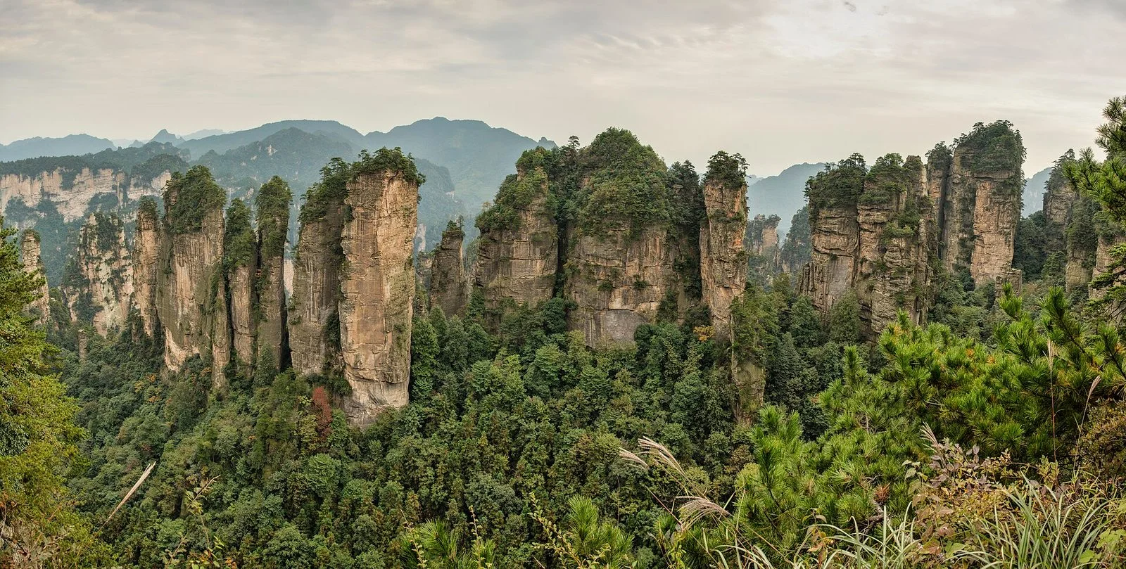
A landscape of sandstone pillars
The UNESCO-listed Wulingyuan property covers more than 26,000 hectares and contains over 3,000 sandstone pillars, many rising above 200 metres. Forest covers their tops and slopes, while narrow ravines separate the columns. From an open viewpoint, the formations read as a dense field of vertical rock rather than a single ridge.
Mist can hide distant pillars and soften the contrast between rock and forest; after it lifts, nearer formations may appear while farther ones remain veiled. Weather changes what is visible, so a cloud sea is a possible condition rather than a guaranteed attraction. The park's high areas, including Yuanjiajie, Tianzi Mountain and Huangshizhai, offer changing angles across the same broader peak-forest landscape.
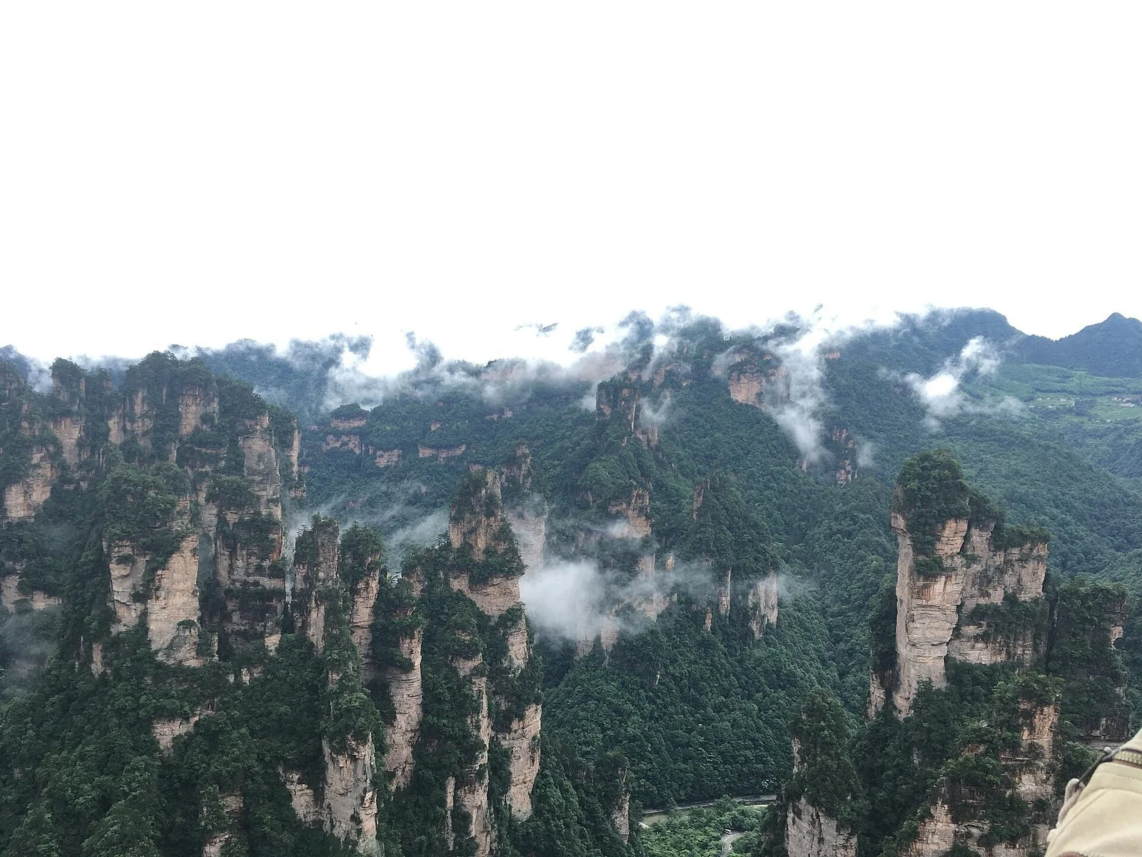
Compare high viewpoints with valley walks
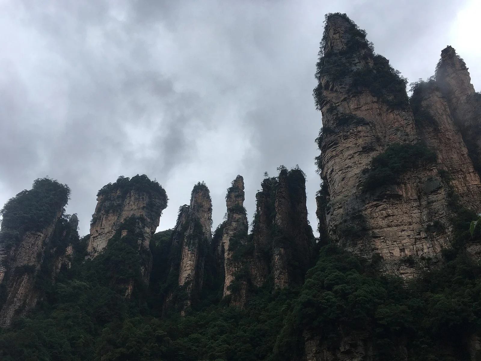
From an upland viewpoint, the height and spacing of the pillars become easier to read. Yuanjiajie's rock columns, for example, stand close together above wooded slopes; the Bailong area photograph shows their steep faces and irregular crowns. Viewpoints around Huangshizhai open onto a broader panorama, while the scenery changes with the direction and height of each lookout.
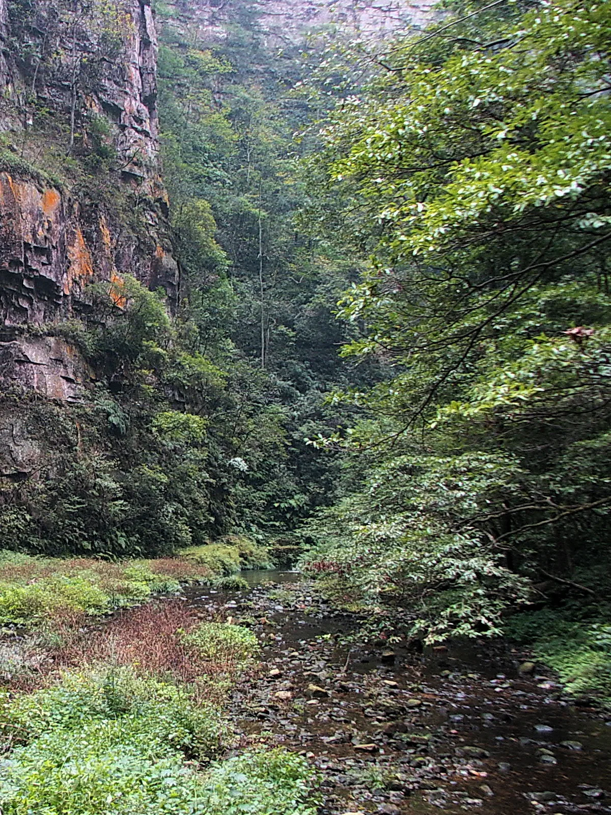
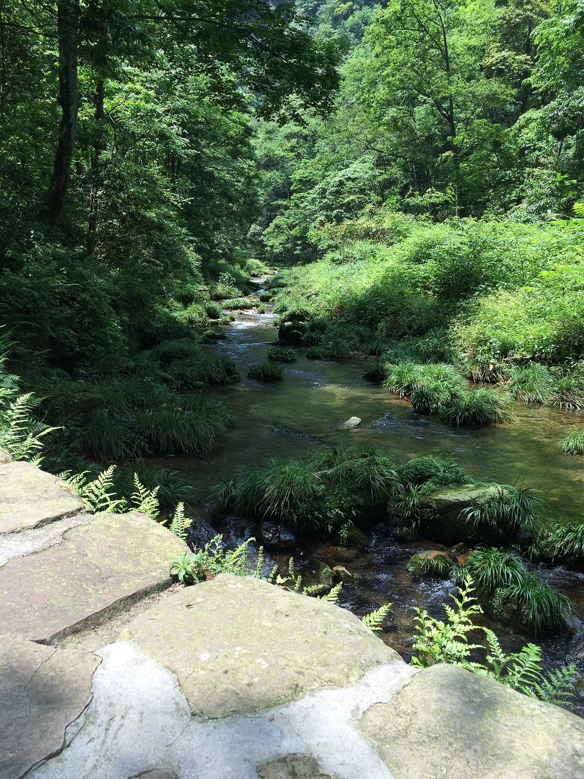
At valley level, the focus shifts from distant silhouettes to water, vegetation and the close-set walls of the ravines. The official geopark overview identifies Golden Whip Stream and Ten-Mile Gallery among Wulingyuan's scenic areas. These valley landscapes complement the elevated views, but their paths and current access arrangements should be checked separately from those for the upland areas.
A broad park with distinct scenic areas
Wulingyuan's peak forest sits within a wider geopark that also includes Yangjiajie, Huanglong Cave and Baofeng Lake. The geopark and the UNESCO-listed natural property have different stated areas, so their boundaries should not be treated as interchangeable. For a visit, choose the kind of landscape that matters most: an elevated view across pillars, a walk beside a stream, or a separate cave or lake setting.
The scenic areas cover a broad mountain landscape, and weather or maintenance can affect access to paths and transport facilities. Check current notices from the official operator before setting out, especially when a plan depends on a particular entrance, cableway or elevator. Older itineraries and operating details may no longer describe the available arrangements.
Caves, waterfalls and natural bridges
Sandstone pillars are Wulingyuan's defining feature, but the UNESCO description also records ravines, streams, pools, waterfalls and about 40 caves within the property. It notes two large natural stone bridges as well. These features add close-range and underground views to a landscape often represented only by its tall peaks; individual cave or water attractions may have separate access and operating conditions.
Useful official references
Check the relevant official service before making arrangements. These links are references, not a guarantee of current services.