Three structures, one water system
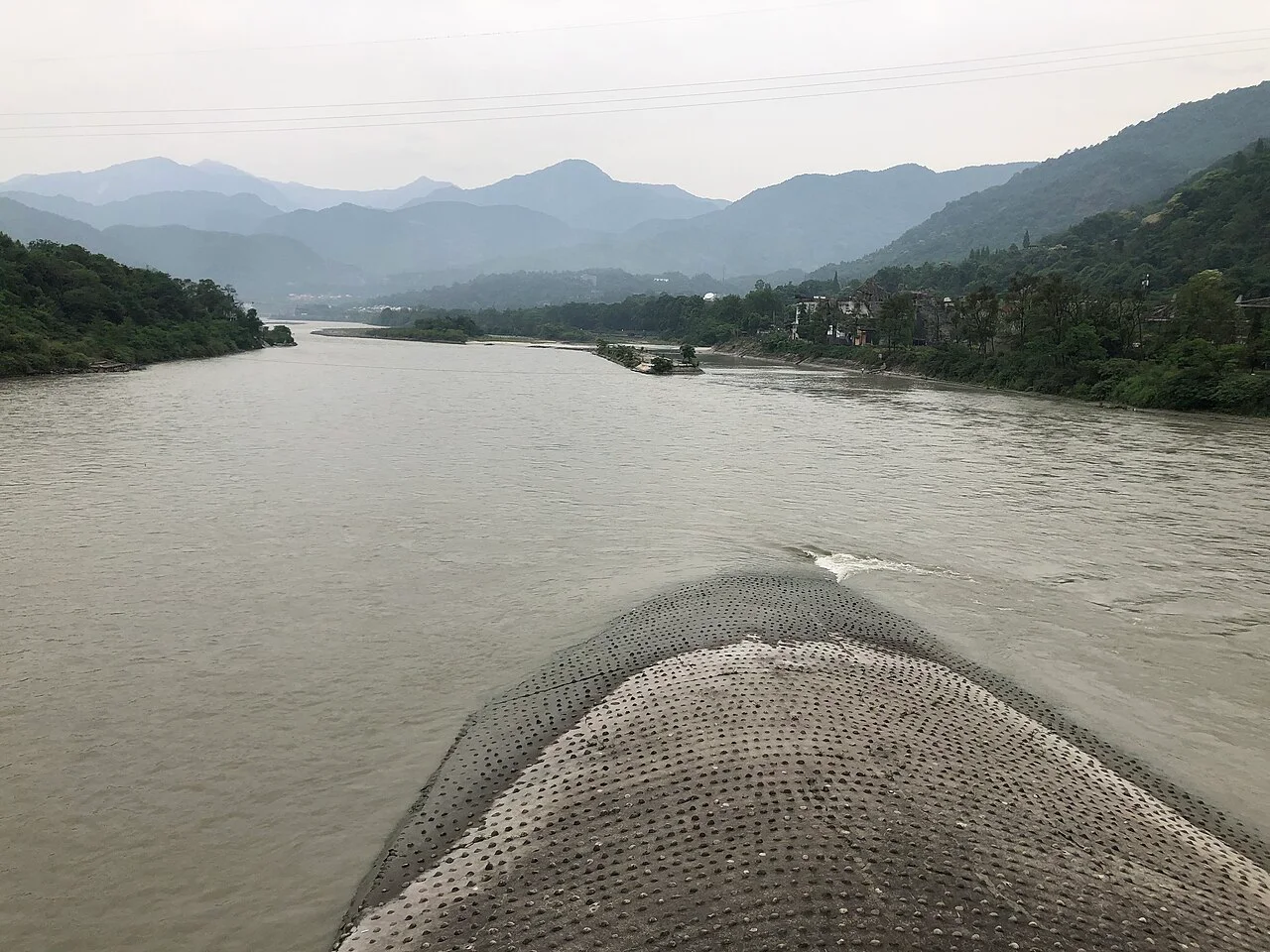
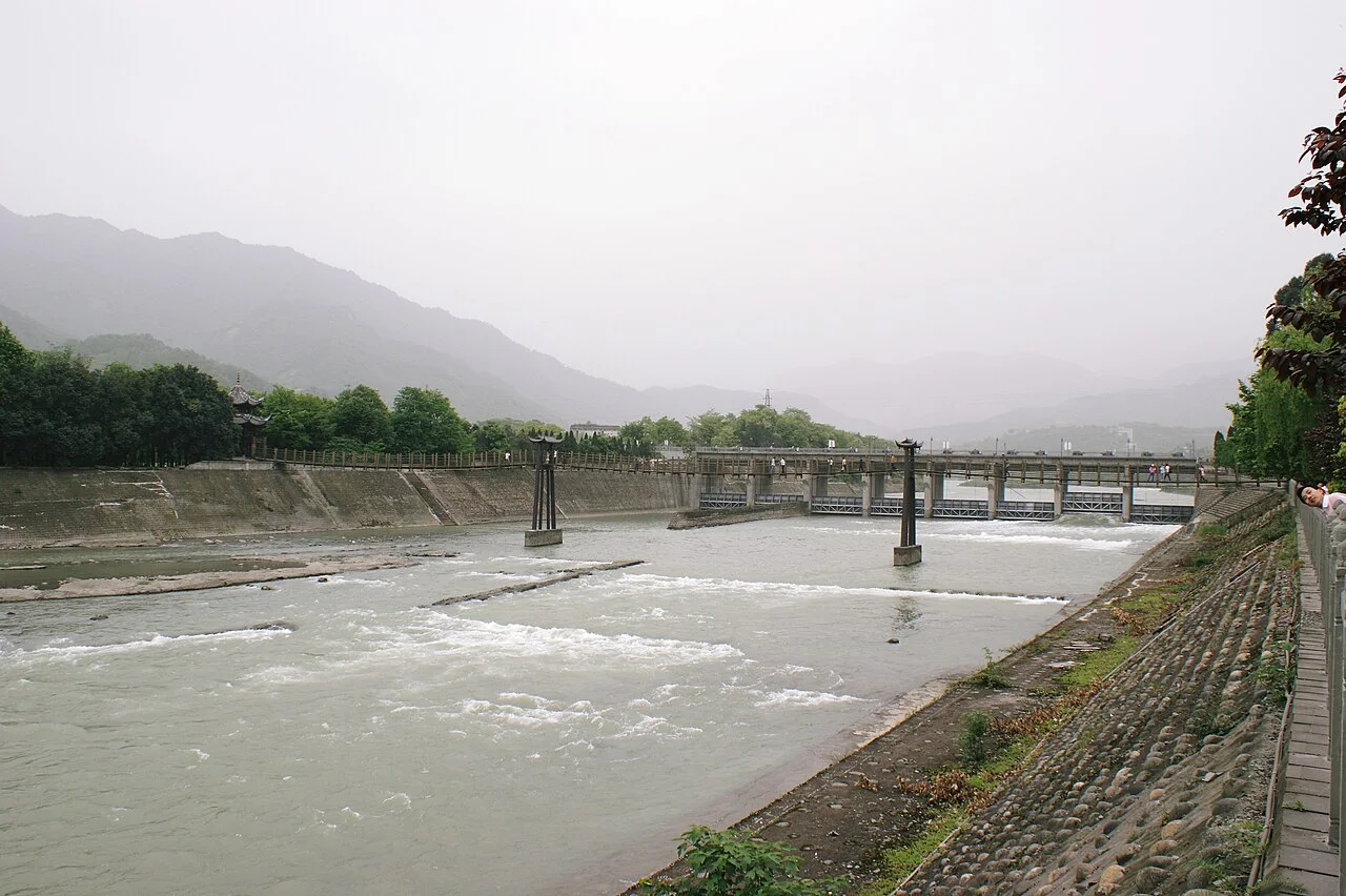
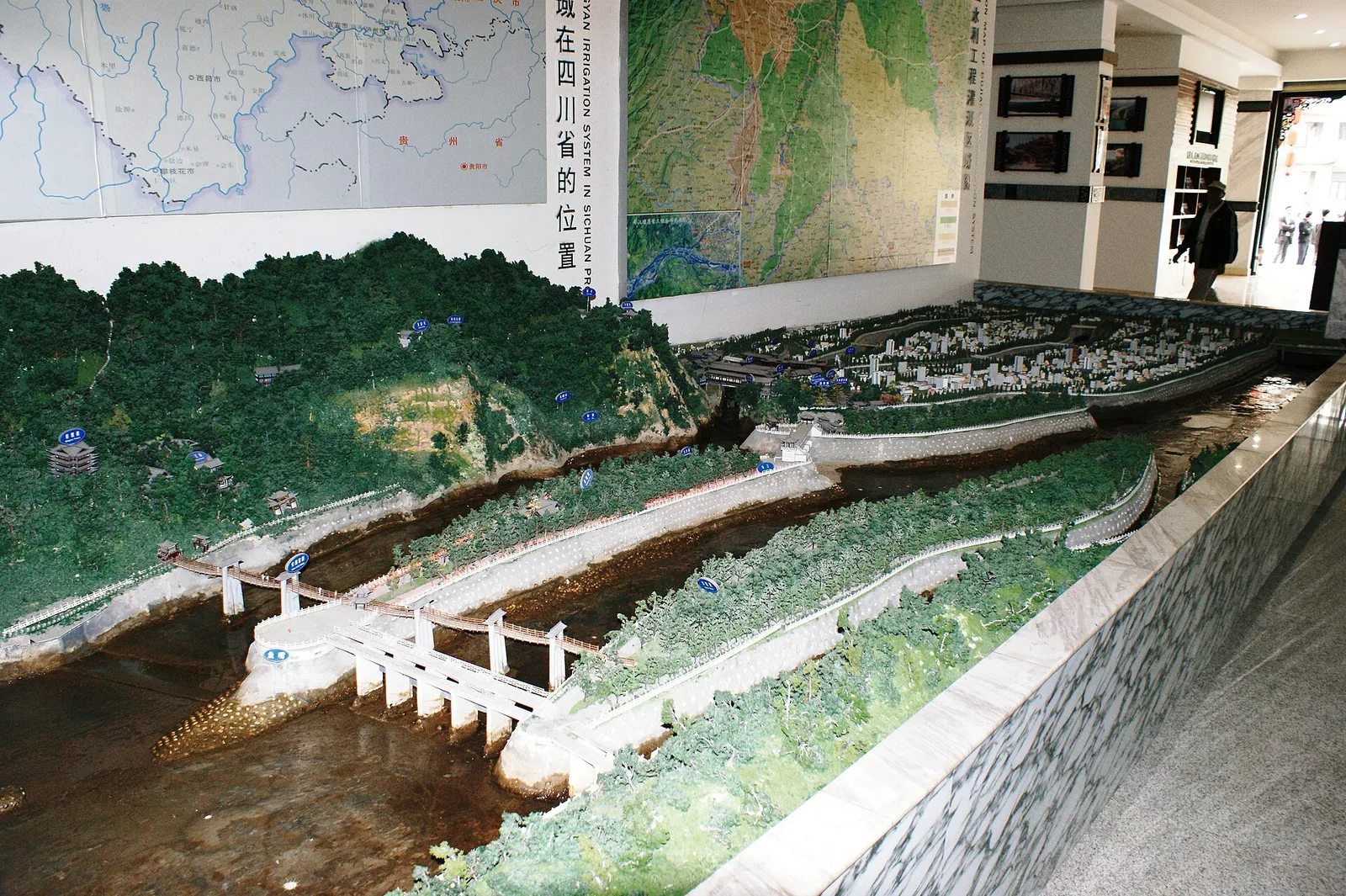
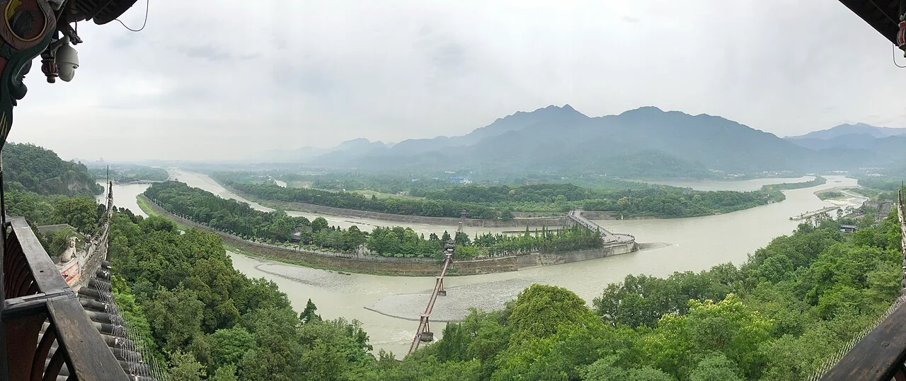
Dujiangyan is on the Min River in the city of Dujiangyan, which Chengdu administers as a county-level city. The system’s layout begins with the Yuzui, or Fish-Mouth Levee, which divides the flow. The inner channel carries water toward the narrow Baopingkou inlet. Beside it, Feishayan allows excess water and sediment to spill back toward the outer river channel.
The parts work together with the river’s natural gradient and changing flow. Rather than blocking the main channel with a high dam, the system guides water through channels and spillways. From an elevated viewpoint, trace the branching currents; from the riverbank, the scale of the levees and the force of moving water become easier to read.
Read the landscape from more than one level
The river changes character across the site: broad channels, divided currents and confined passages make the engineering logic visible in the landscape. Follow the relationship between water level, bank shape and the route toward Baopingkou, while keeping to marked paths near fast water.
Dujiangyan is not in central Chengdu. Reaching it involves travel to Dujiangyan City, and travel times vary with the starting point and current transport conditions. Confirm current route and site access before setting out; this page does not treat historic transport details as a present-day schedule.
Useful official references
Check the relevant official service before making arrangements. These links are references, not a guarantee of current services.