How the lake, causeways and hills fit together
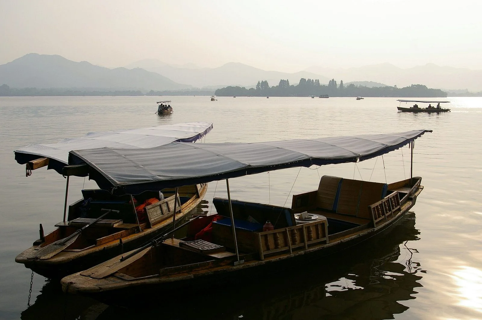
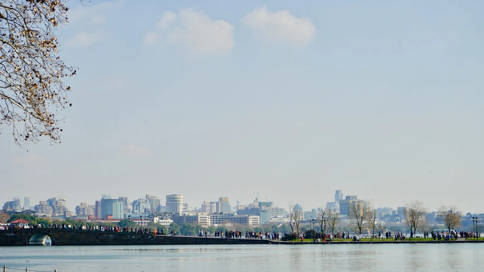
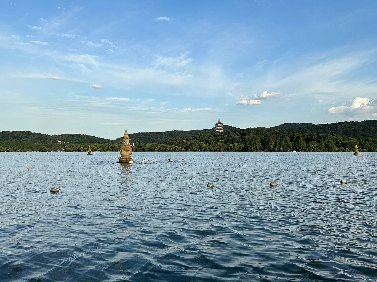
West Lake lies west of Hangzhou's old city, with hills on its northern, western and southern sides and the city to the east. The West Lake Cultural Landscape of Hangzhou, inscribed on the World Heritage List in 2011, encompasses the water and surrounding hills, temples, pagodas, gardens, embankments and islands. Looking west from the eastern shore, you see ridgelines beyond the water. Looking east from the western shore, Hangzhou's buildings form the backdrop. The same lake feels very different from opposite banks.
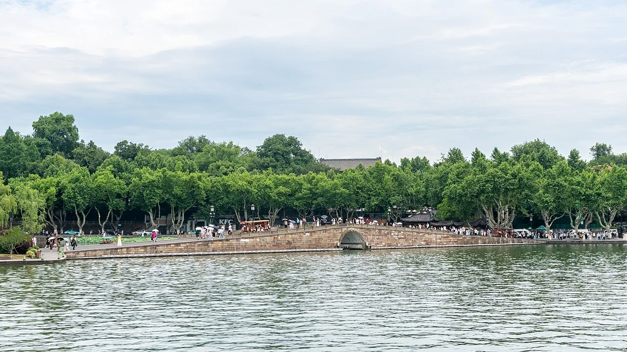
The landscape has been extensively shaped by people. UNESCO's description links the main causeways and islands to repeated dredging between the 9th and 12th centuries. Clearing mud also created embankments and islands, dividing open water into foregrounds, gaps and distant views. Notice how bridge arches frame the water and how pagodas appear between the hills and lake. These details explain its character more clearly than attraction names alone.
Choose a stretch of shore to explore
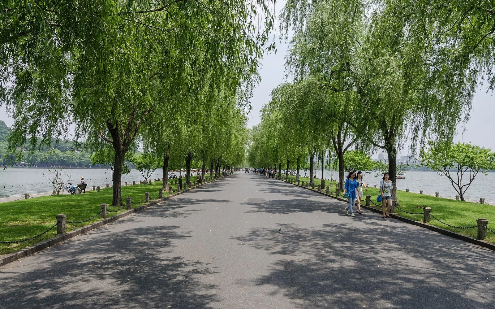
Bai Causeway runs near Gushan in the north, while Su Causeway crosses the western part of the lake. Together they divide the lake into different areas of water. For open views, choose an embankment or bridge approach. If you prefer gardens, pavilions and trees, allow time for Gushan and smaller spaces beside the lake. Leifeng Pagoda to the south and Baochu Pagoda to the north also serve as distant landmarks; seeing a pagoda does not mean you need to climb its hill.
The eastern shore brings the city and lake into one view, while the area around Su Causeway makes the relationship between water and hills easier to see. On a first visit, choose a section of shore and walk part of a causeway; a full circuit is not essential. Allow roughly 2–3 hours for a stretch of shore and causeway, including photo stops. This is an estimate; adding islands, museums or a pagoda visit will take considerably longer.
Both the Bai Causeway and Su Causeway lead visitors between stretches of water, but they offer different perspectives. From a causeway, it is easier to notice how the lake opens out on either side; from a bridge, you can pause to compare the positions of islands, distant hills, and the shoreline. Start at a clear vantage point to get your bearings, then decide whether to continue. Rain, mist, and strong sunlight can all affect distant views, so there is no need to make a particular photograph the goal of a visit.
The conditions behind the Ten Scenes
Since the Southern Song dynasty, the “Ten Scenes of West Lake” have used poetic names to describe particular views. Many names specify a season, time of day or weather condition. Spring dawn, lingering snow, autumn moon and sunset do not describe scenes that can be reproduced at any time. Even without snow at Broken Bridge or a full moon over the water, you can enjoy the causeways, bridges and shores without rearranging your visit to match a name.
Photographers can choose light according to the view they want. For mountains and water, first establish whether you are on the eastern or western shore; for the skyline, look east across open water. Rain and mist change how clearly the hills appear, while sunshine does not make every location ideal for photography. Walking, boat trips and individual museums or other venues are separate options. Check the relevant operator's announcements for the chosen pier or venue, including sailings, fares and temporary restrictions; they are not combined here into a single “West Lake admission ticket.”
Useful official references
Check the relevant official service before making arrangements. These links are references, not a guarantee of current services.