City introduction
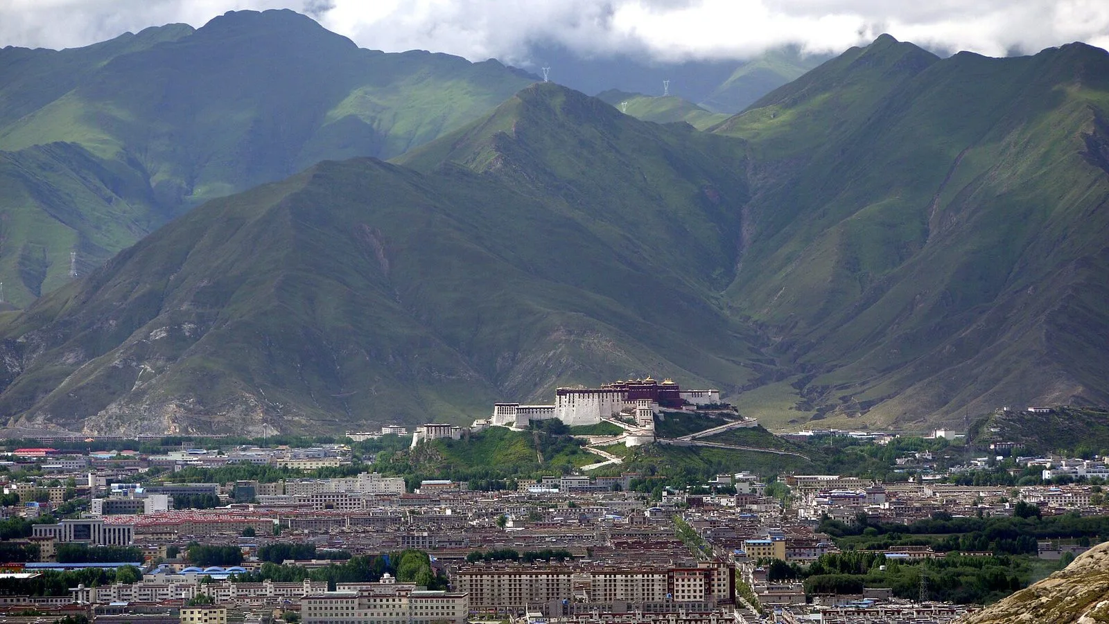
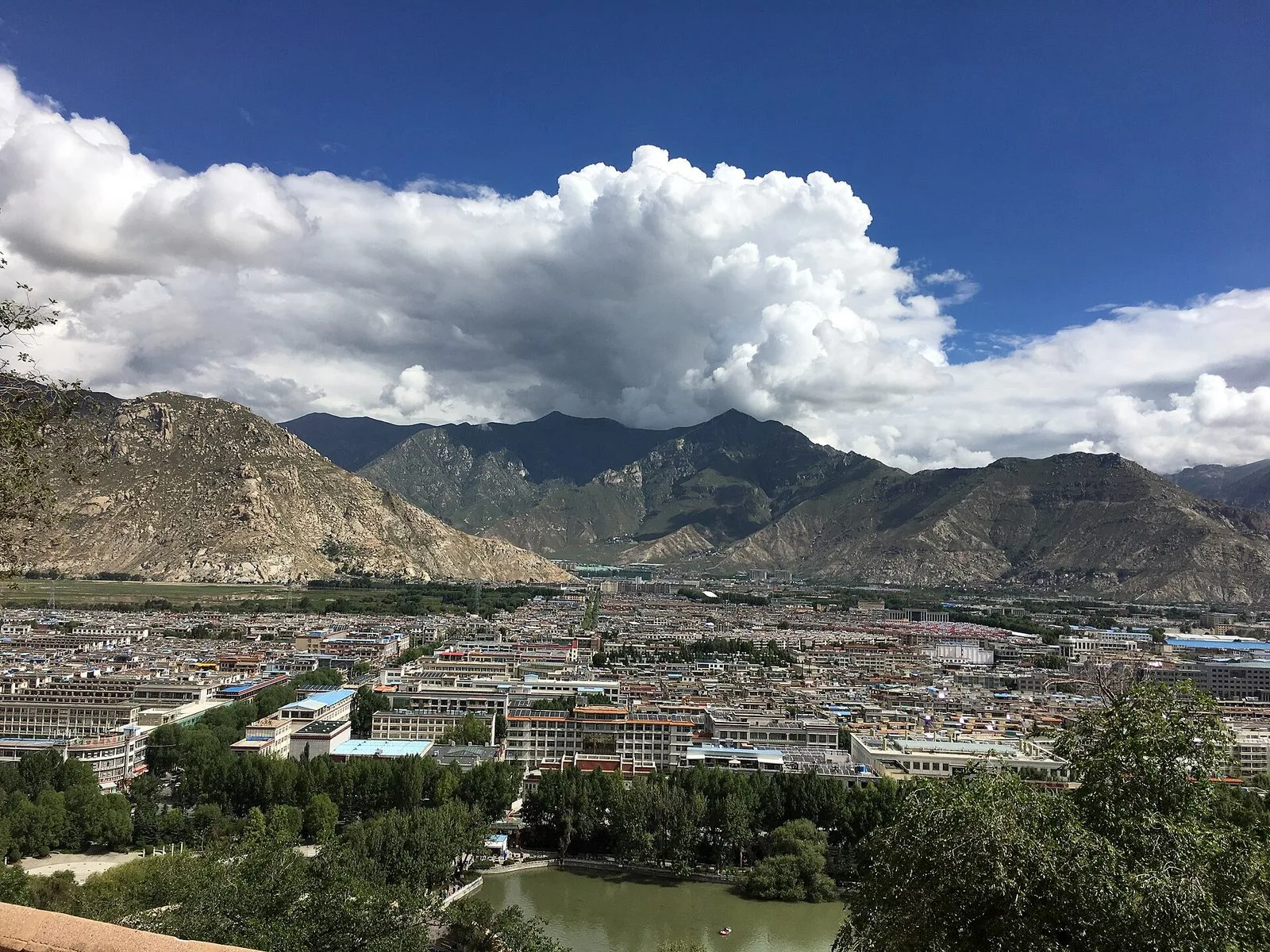
Lhasa is the capital of the Tibet Autonomous Region. The city spreads along the Lhasa River valley at an elevation of about 3,650 meters. The valley floor is relatively flat, and the mountains on either side are close to the streets; from many places you can look up and see the slopes and, beyond them, the ridges.
The city has two centers: the Potala Palace on the Red Hill in the west, and the old Barkhor district that grew up around the Jokhang Temple in the east. Together with Norbulingka on the western outskirts, they form the World Heritage site known as the Historic Ensemble of the Potala Palace, Lhasa.
Daily life in Lhasa also unfolds on the kora routes, in sweet tea houses and at the monasteries on the city's edge. Putting the palace, the old town, the gardens and the monasteries on one map makes the distances and differences between them much clearer.
Valley, altitude and light
The Lhasa River runs past the city, and the urban area sits on the valley floor. At about 3,650 meters, the air is thin and dry, and the city receives more than 3,000 hours of sunshine a year, which is why it is called the 'Sunlight City.' The light makes white walls, gilded roofs and mountain slopes stand out; it feels warm in direct sun but cool in the shade.
Climate data from China Weather places Lhasa in a plateau temperate semi-arid monsoon climate: temperatures are low, precipitation is limited, and the difference between day and night is large. Annual precipitation is about 200 to 510 millimeters, concentrated from June to September, and much of it falls at night. Summer days are often sunny, with rain mostly after dark; winter and early spring bring dry, cold winds and very strong sunshine. Temperatures drop noticeably after sunset, so it is safer to dress for the difference between morning and evening.
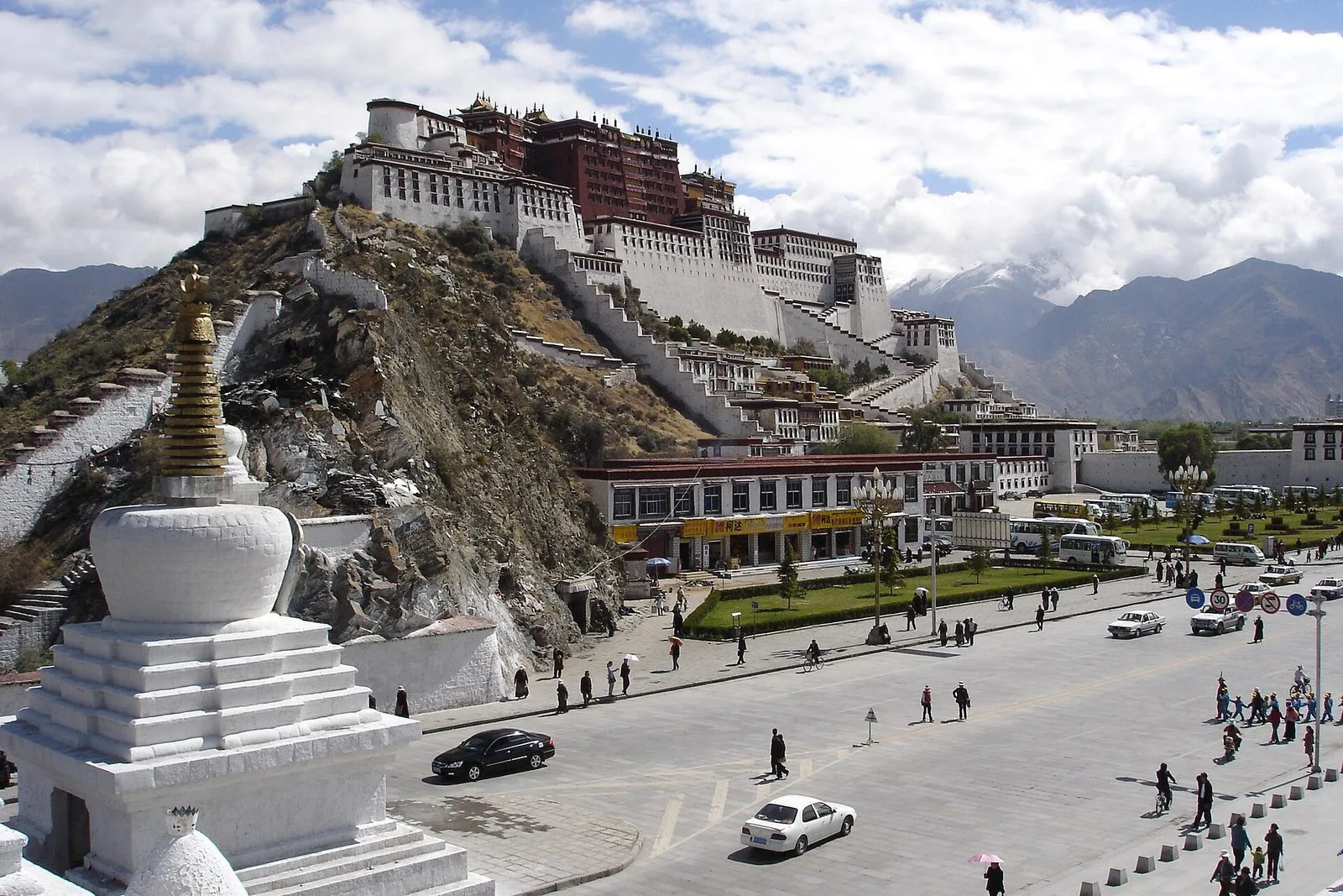
The Potala Palace on the Red Hill
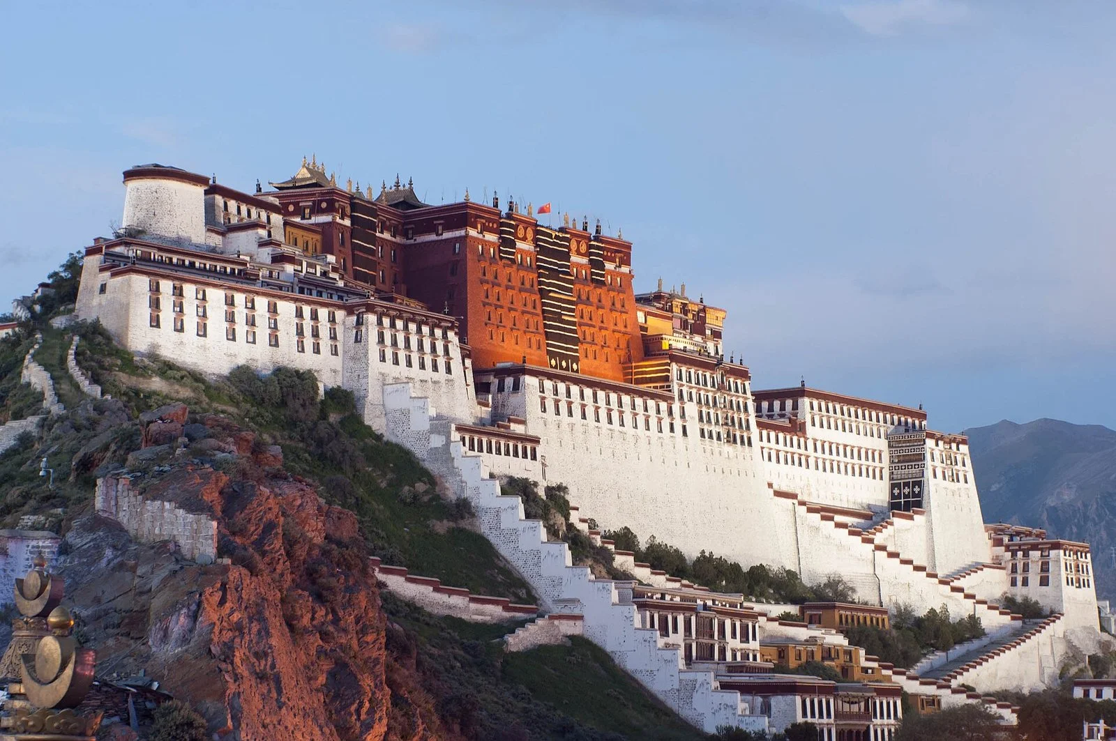
The Potala Palace stands on the Red Hill in the middle of the Lhasa River valley and consists of the White Palace, the Red Palace and attached structures. UNESCO's World Heritage description calls it the winter palace of the Dalai Lamas and traces its history to the 7th century; the whole complex is a palace-and-fortress built on the Red Hill, and from many points in the city you can see its outline stretched along the ridge.
Up close, the building's layers are clearer than from a distance: white walls, dark window frames, red palace walls and gilded ornaments at the top rise one above another, while the streets, stupas and people walking kora at the foot of the hill connect it to the city. It is not an isolated palace but a whole made up of walls, courtyards, assembly halls and residences. After seeing it, turn east to the Jokhang Temple, and the spatial relationship between the two centers becomes easier to grasp.
Barkhor Street and the Jokhang Temple
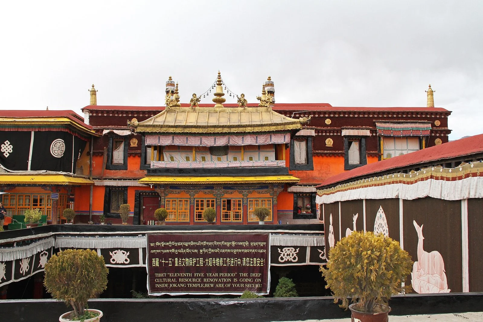
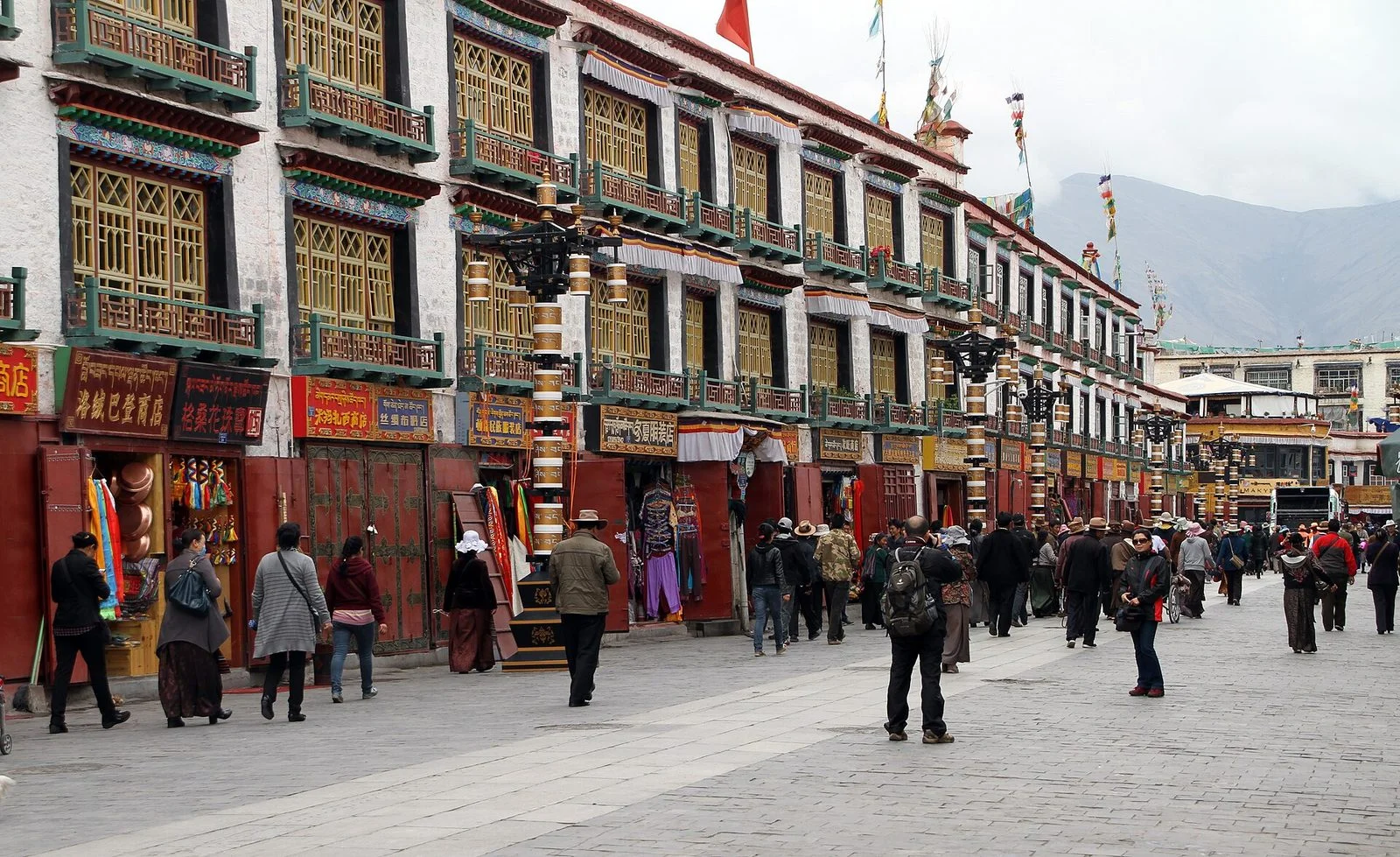
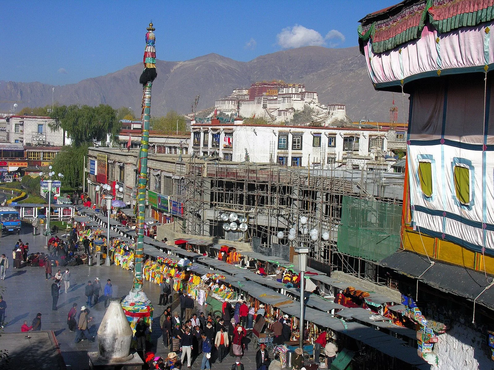
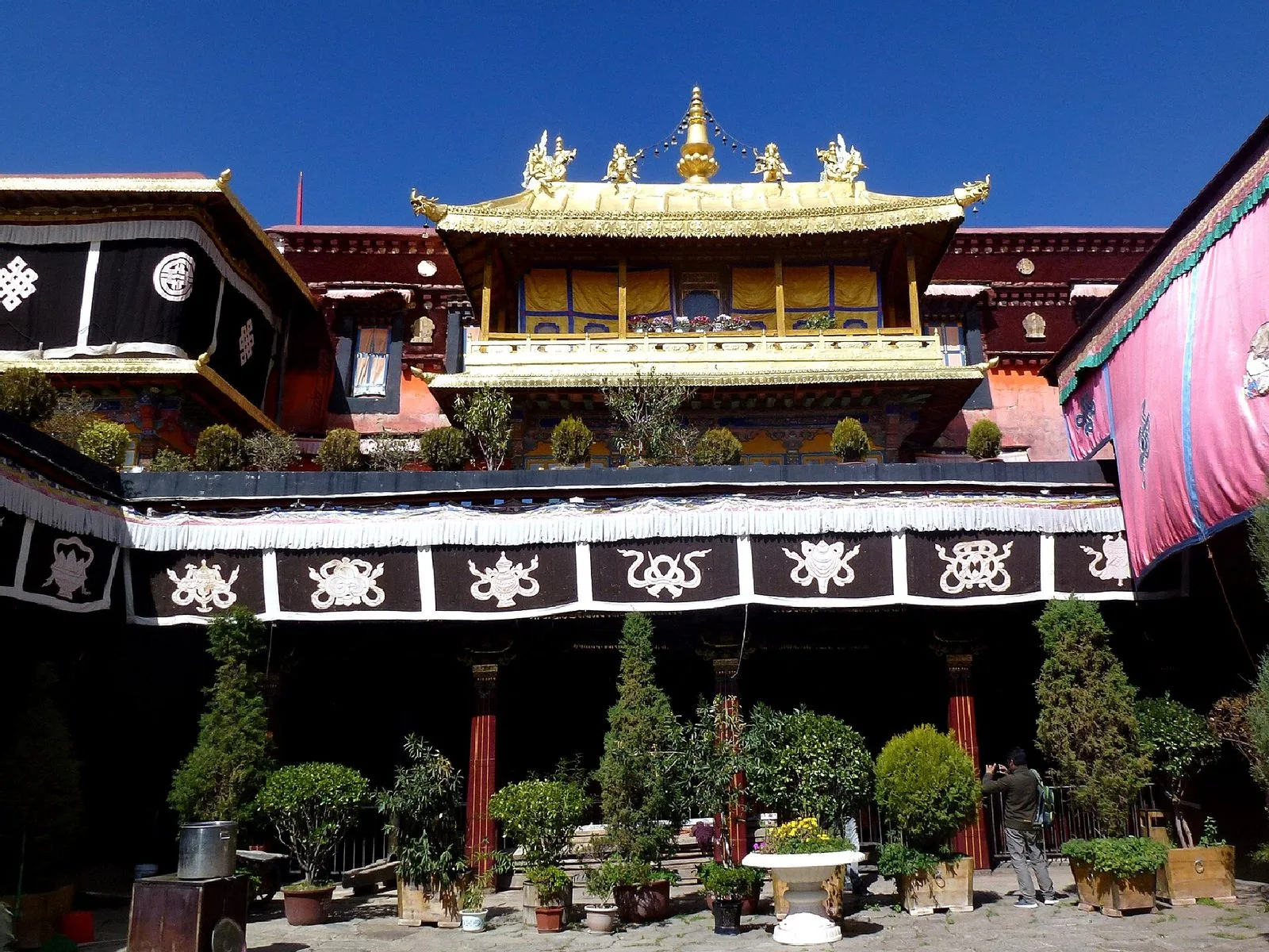
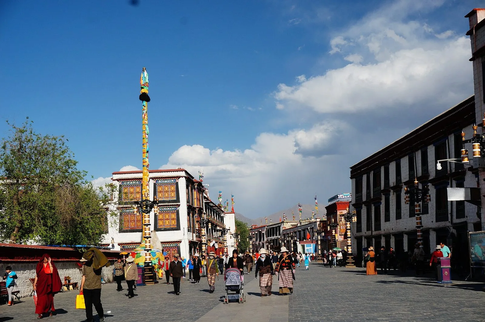
The heart of the old town is the Jokhang Temple. Founded in the 7th century, it drew circumambulating pilgrims who gradually wore a circular path around it, and Barkhor Street grew from that path; 'Barkhor' means 'circumambulation route' in Tibetan. The stone-paved route is still walked clockwise today, its surface polished by generations of footsteps; near its entrance stands the Tang-Tibetan Alliance Stele, inscribed in both Chinese and Tibetan.
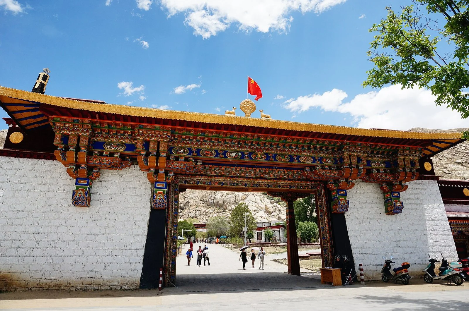
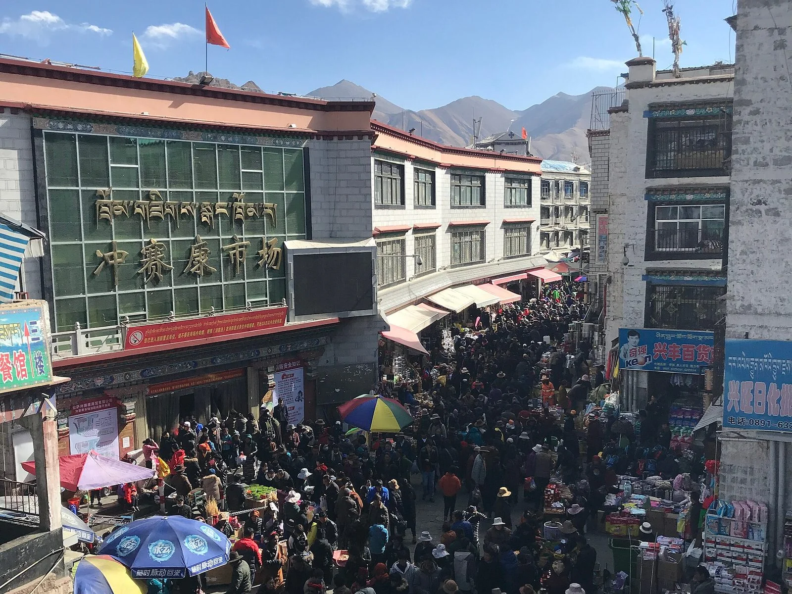
Continuous Tibetan-style buildings line both sides of the street, and 56 historic courtyard compounds survive in the old town, home to Tibetan, Han, Hui, Monba and other residents. The street has worshippers as well as shops selling religious supplies, everyday goods and tourist items, along with century-old shops selling Nepalese goods and new-style cafes; the kora route and the commercial street are one and the same. For visitors, following the flow of people, not blocking those doing full-length prostrations, and gesturing before photographing people will help keep the street's daily life undisturbed.
Garden in the west, new town across the river
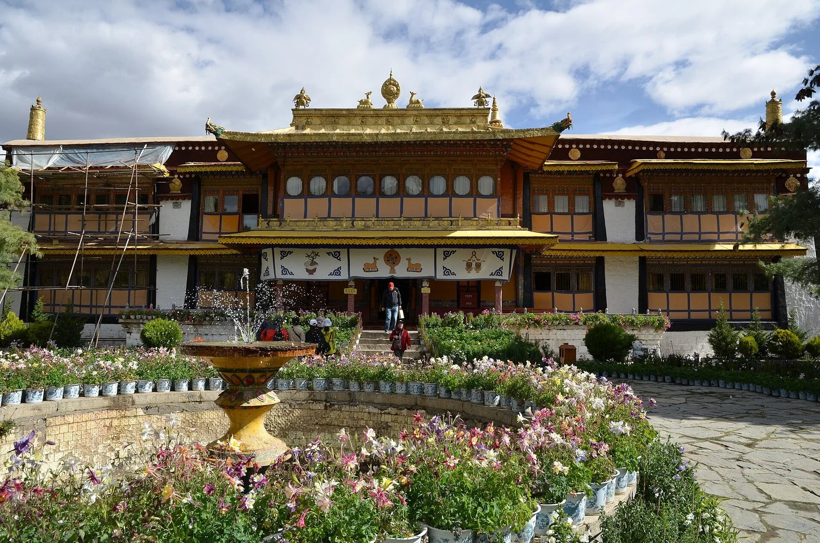
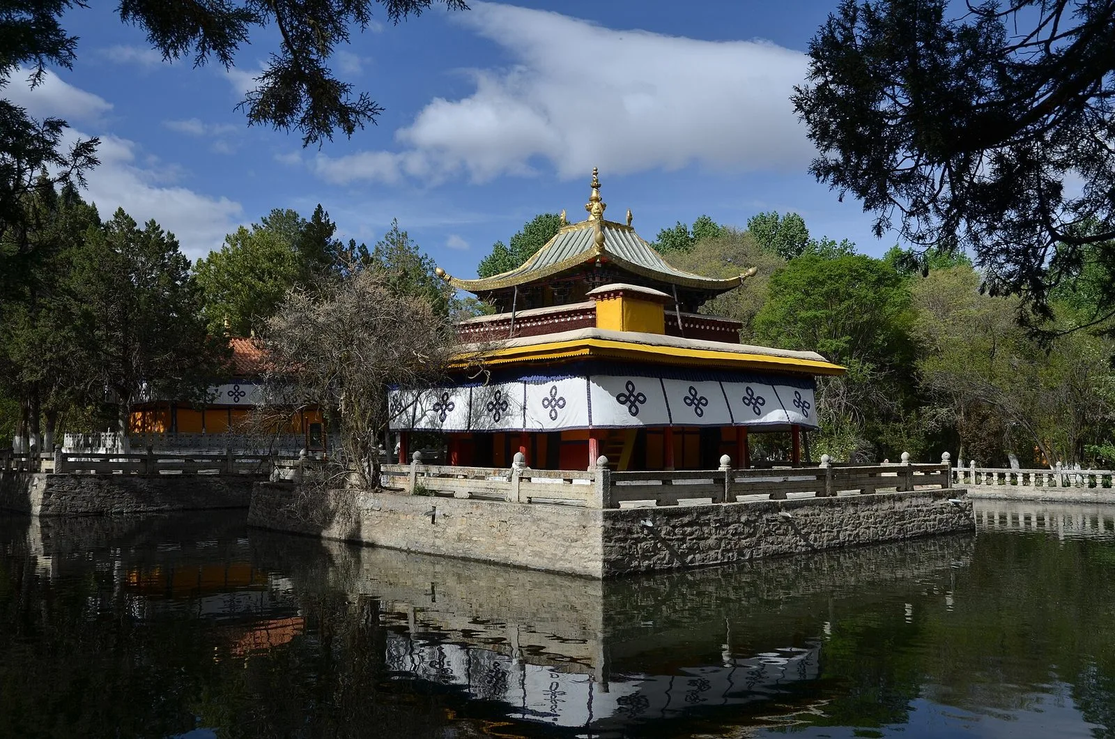
Norbulingka lies about 2 kilometers west of the Potala Palace, beside the Lhasa River, and was built in the 18th century as a summer palace. The World Heritage description records that the garden covers about 36 hectares, with four groups of palace buildings, a temple and several halls, pavilions and gardens forming a whole. In 2001 it was inscribed as an extension of the Potala Palace World Heritage site. Trees, water and low halls dominate here, in contrast to the dense buildings of the Red Hill and Barkhor.
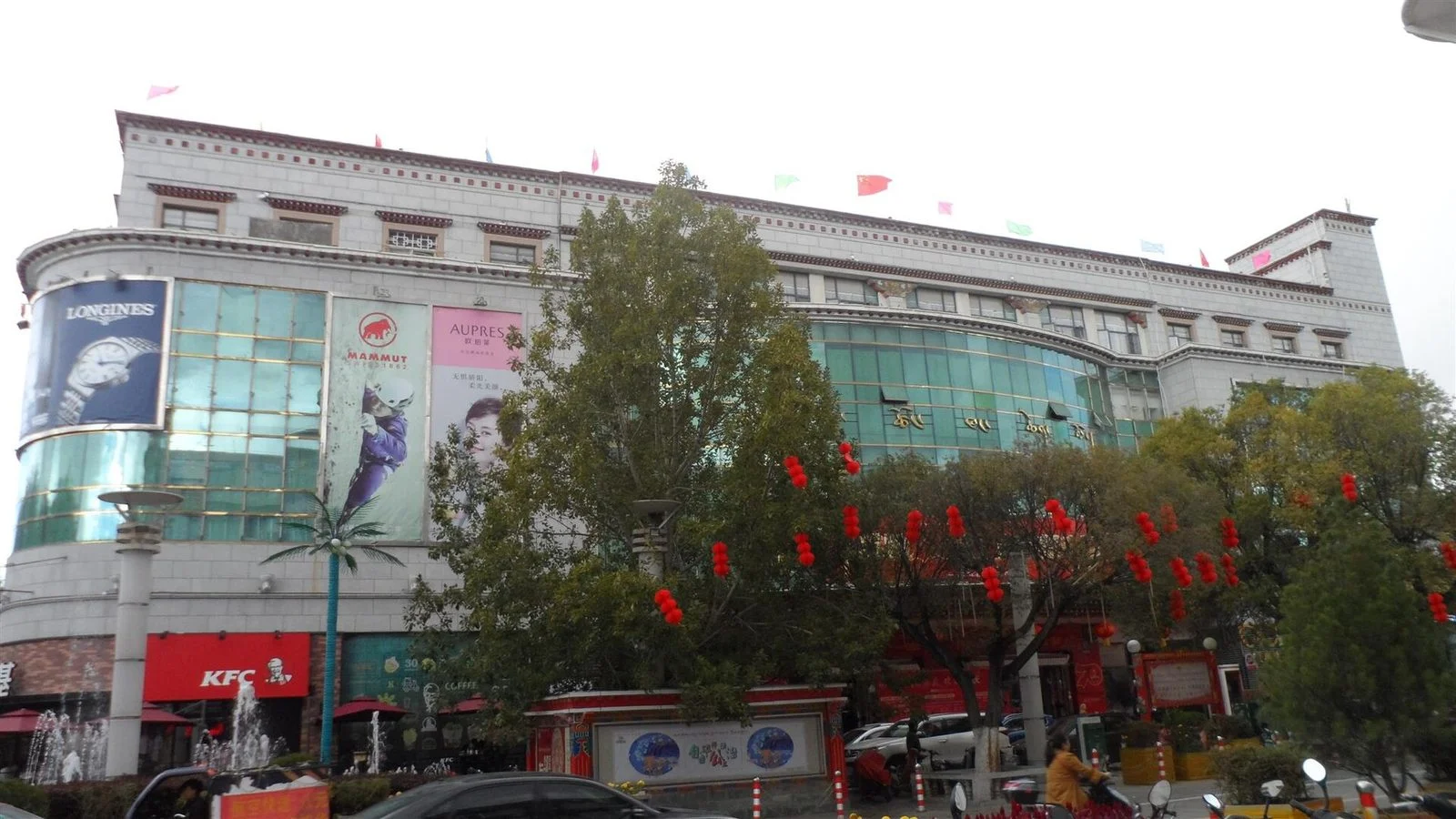
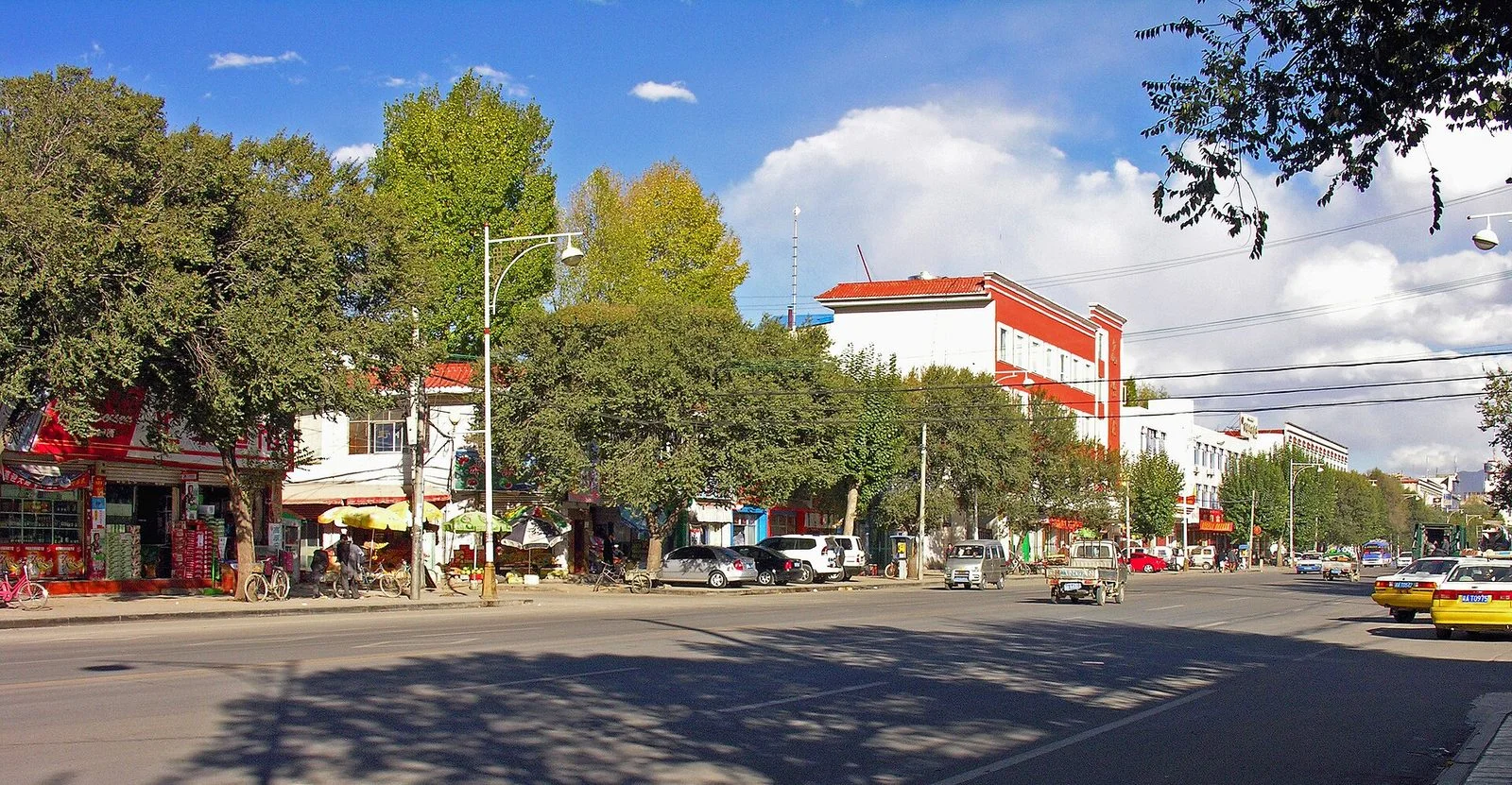
Chengguan District spans both banks of the Lhasa River, bordering Dagzê District to the east and Doilungdêqing District to the west. The old town and the Potala Palace are on the north bank; cross the Liuwu Bridge to the south, and the Liuwu area, once a village, has grown into part of Lhasa High-tech Zone (Liuwu New Area), facing Chengguan District across the river. The bridge opened to traffic in 2007; earlier, villagers from Liuwu had to walk to the riverbank and cross by yak-hide boat. The old town's lanes are dense, while the new area on the south bank has planned roads and blocks; the difference between the two banks is most obvious as you cross the bridge.
Sweet tea houses and a bowl of thukpa
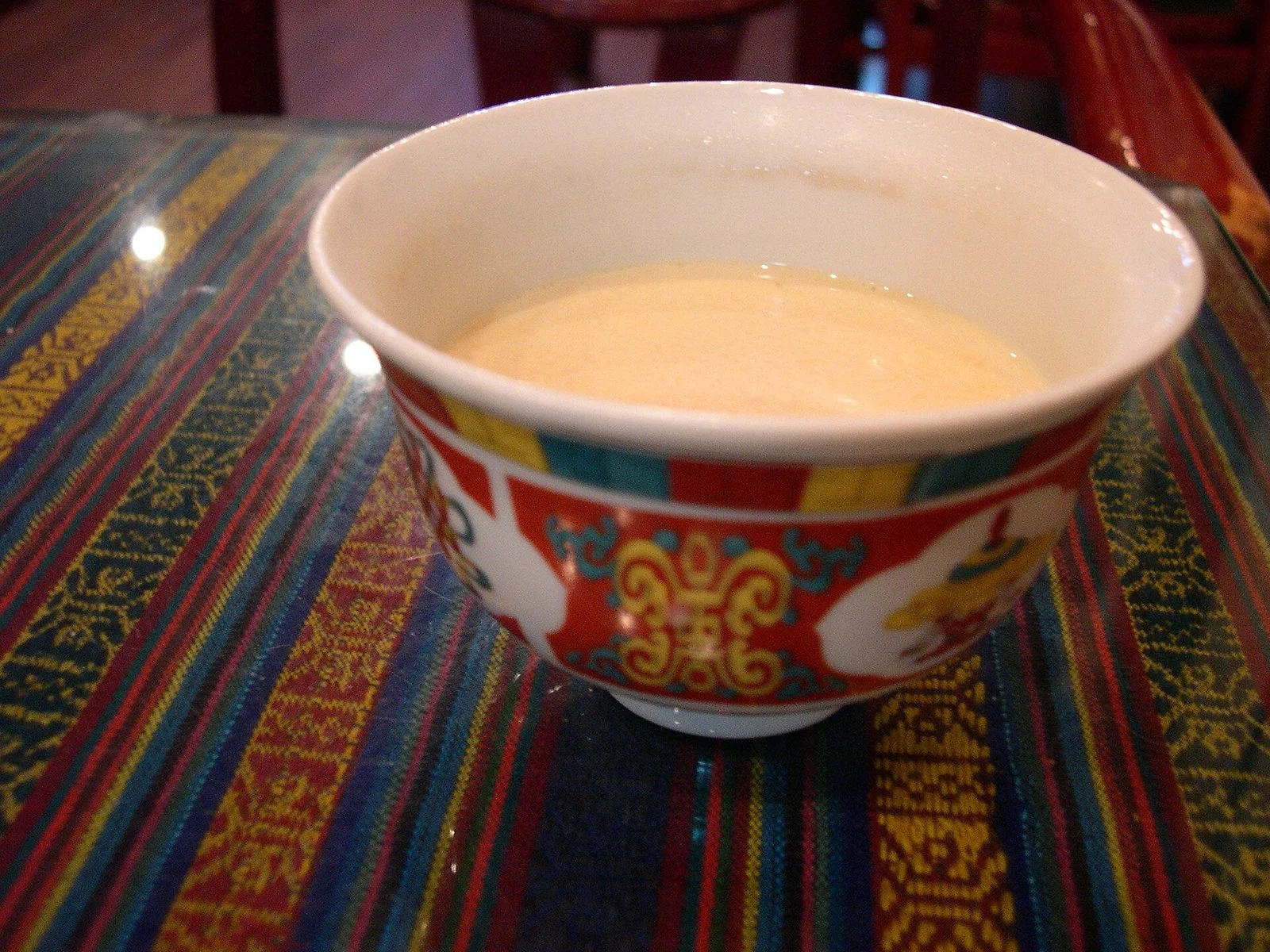
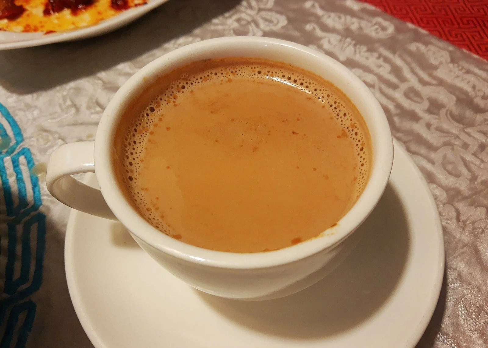
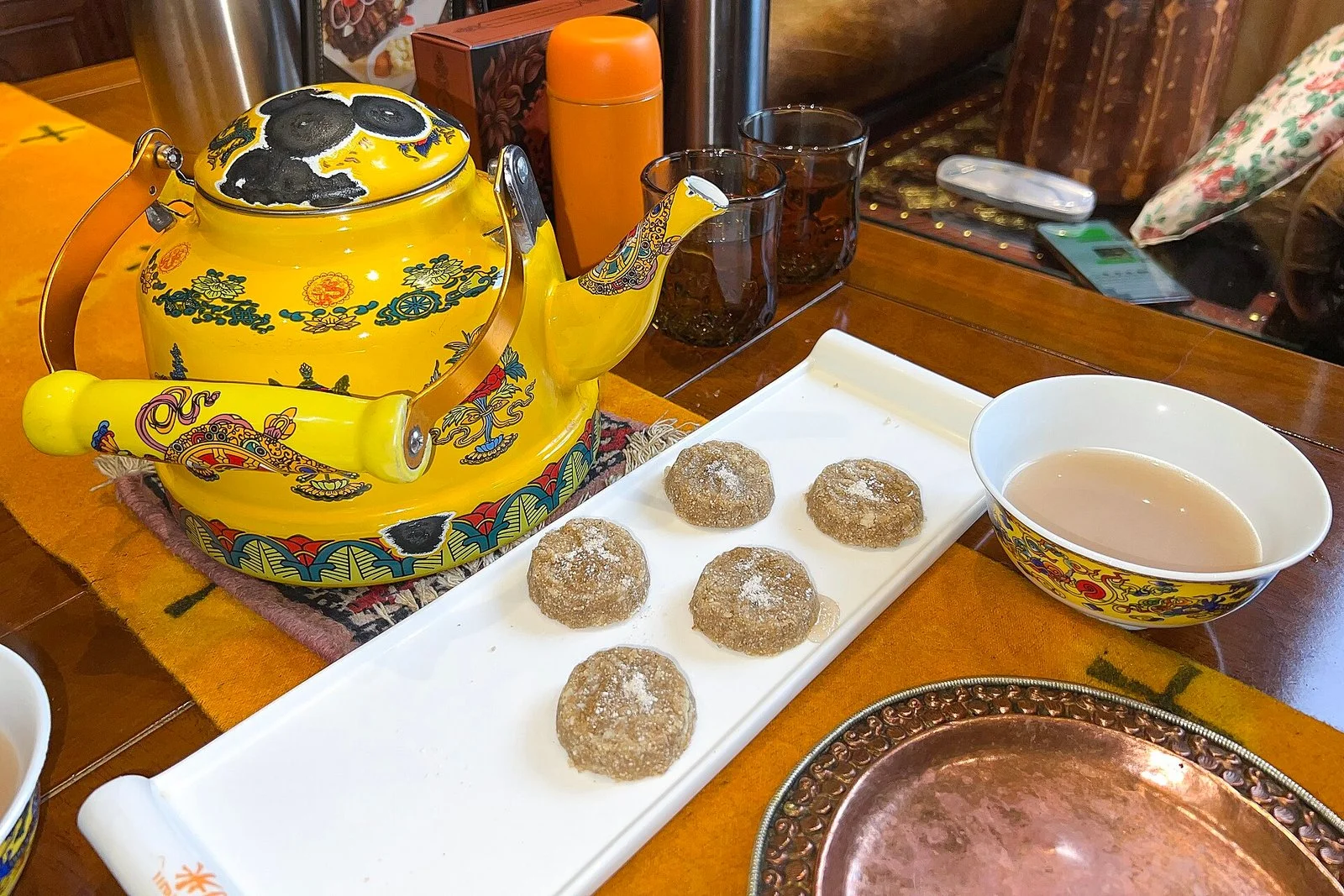
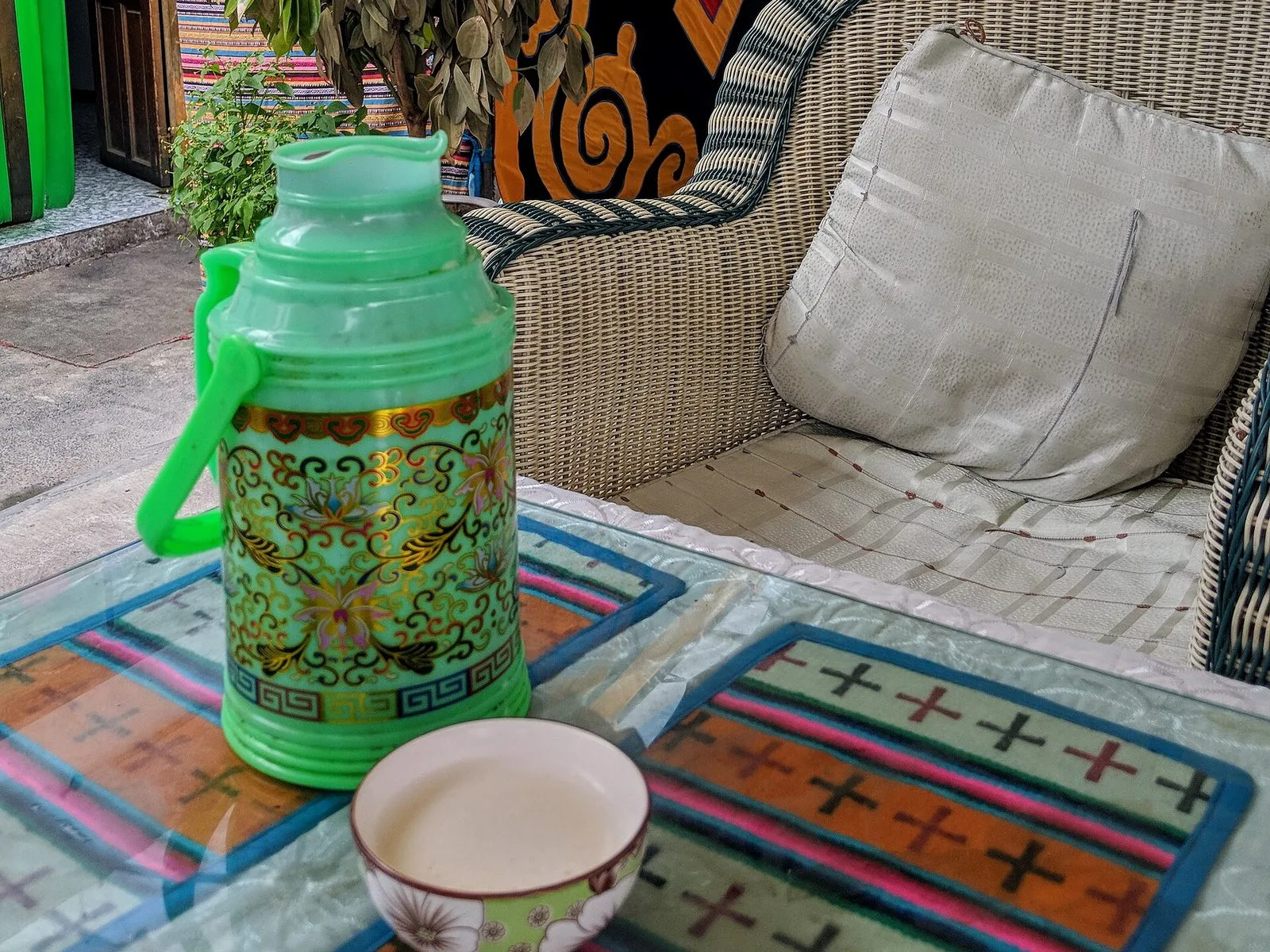
Sweet tea houses are one of Lhasa's most common everyday scenes. The old Guangming Gangqiong Sweet Tea House in Chengguan District has been open since 1977 and still keeps the practice of paying by the cup: guests leave their empty cup and small change on the table, and the aje, the women carrying kettles, come by to refill the tea and take the money; for food, you take an aluminum meal card to the counter. Wooden tables, sunlight and a constant flow of customers make the tea house feel more like a community living room than just a place to eat.
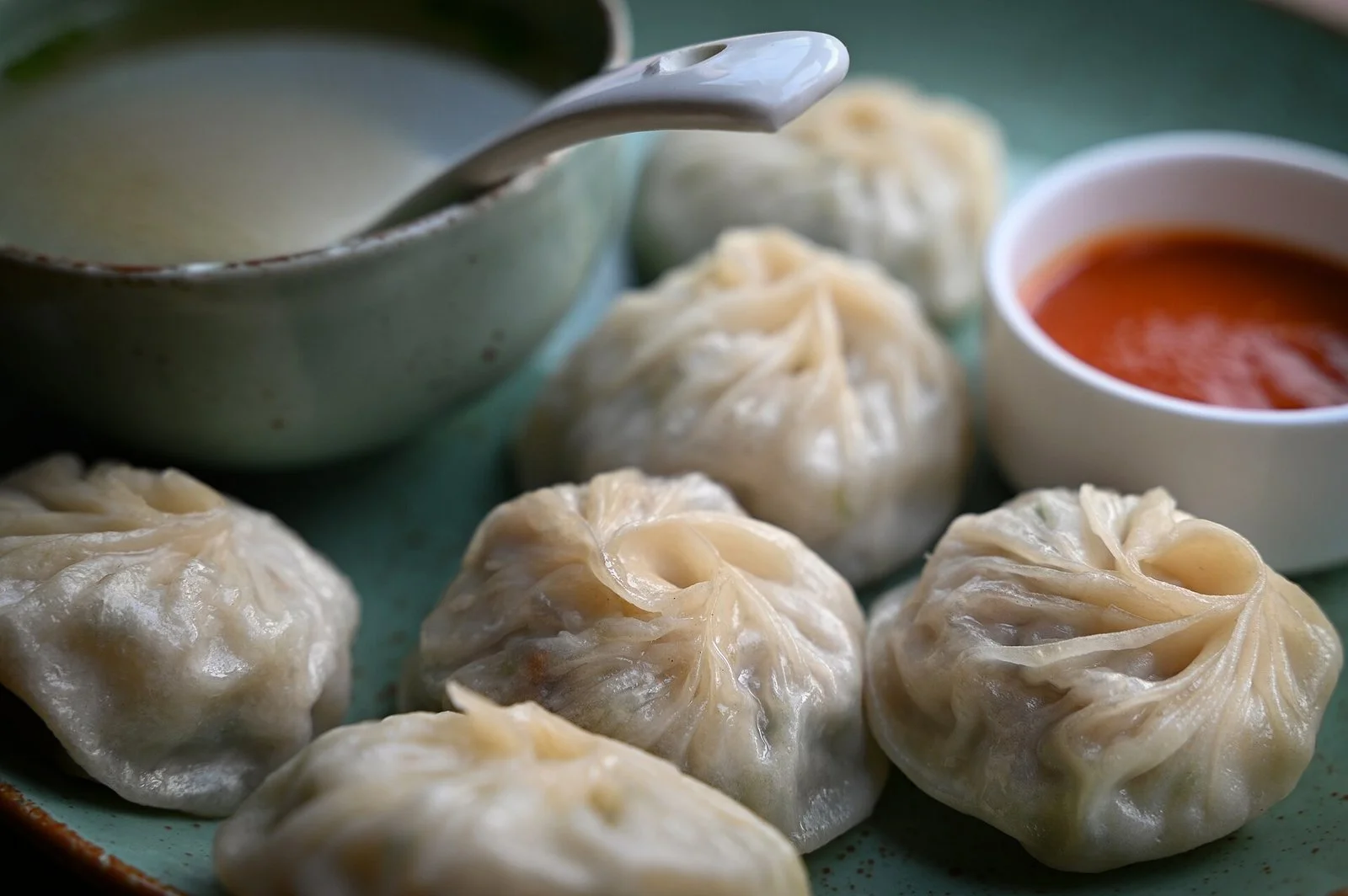
A bowl of thukpa with a cup of sweet tea is a common breakfast. Some people come after dropping off their children, some after finishing kora; they sit down, order noodles, pour tea, eat, and then go about their day. Sweet tea houses put eating, drinking tea and chatting at the same table; opening hours and menus vary from one tea house to another, so look at the menu when you go in and order there.
Monasteries at the city's edge, and the seasons
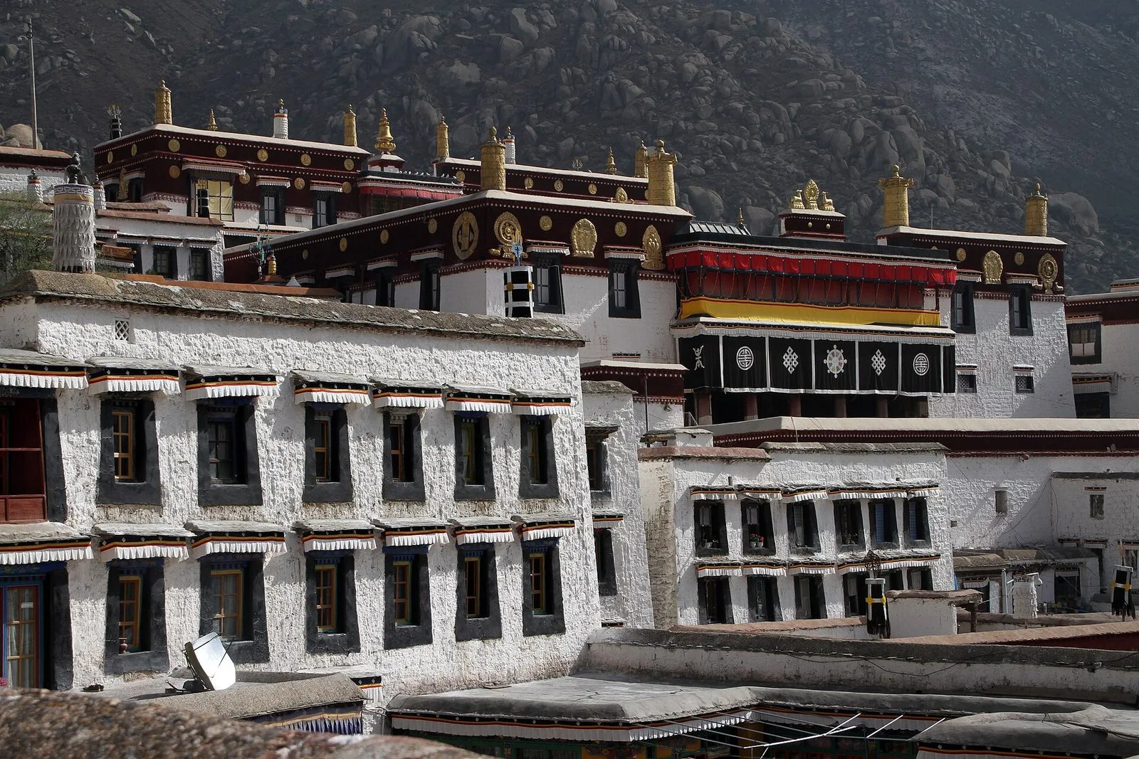
Several of Lhasa's great monasteries are not in the city center but at the foot of mountains on its edge. Sera Monastery is about 5 kilometers north of Lhasa, founded in 1419 and covering about 115,000 square meters, and is known for its monk debates; Drepung Monastery is about 10 kilometers west, on the southern slope of Mount Gephel, founded in 1416 by Jamyang Choje Tashi Palden, a disciple of Tsongkhapa, with its halls spread along a mountain hollow. Farther east, Ganden Monastery stands on Wangpo Ri in Dagzê, about 57 kilometers from Lhasa, and together with Sera and Drepung is counted among Lhasa's three great monasteries.
The relationship between the monasteries and the city shows in the routes of people walking kora and going to worship from the old town up to the slopes: not far out of the city, streets turn into monastery steps and lanes. The seasons noticeably affect how the monasteries look and how easy they are to walk. Rain is concentrated from June to September but mostly falls at night, and days are often sunny; winter and spring are dry and windy with clear skies, making the outlines of monasteries and mountains sharper. Many monasteries are built on slopes, and steps and mountain paths take effort, so allowing spare time is more sensible than rushing.